Harbour Guide 2, Langesund – Lindesnes covers around 400 harbours. Each entry includes a Harbour Guide chart, an aerial photograph, text and a key information fact box. The text is split into a maritime and general section. The maritime section describes the harbour, the approach and information such as mooring options, so you can prepare before arrival. The general text describes the area, its history and things to see and do whilst there. We also point out things you can think about, and perhaps find more out about yourself.
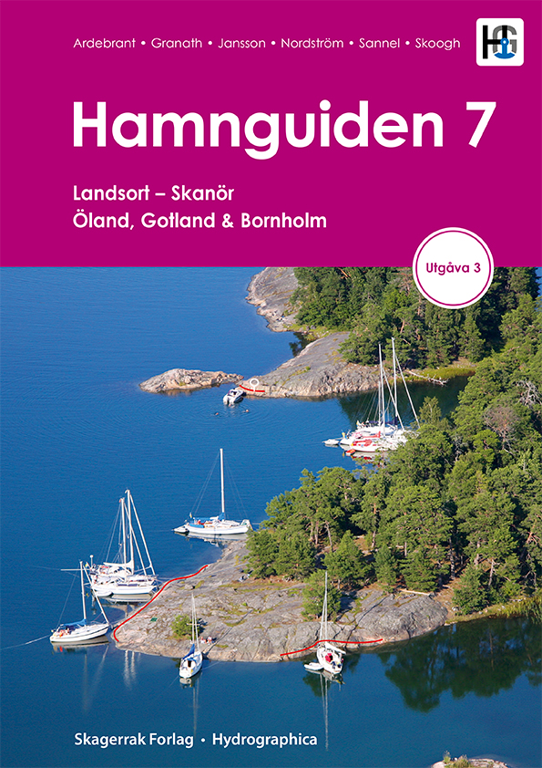
The harbour charts are more detailed than ordinary or chartplotter charts. The best place to tie up, types of mooring and where photographs are taken from are, for example, marked on the charts. Aerial photographs quickly give you an impression of the area around the harbour, and the markings on them show you harbour facilities, approach fairways, hazards and mooring options.
Our Harbour Guides cover an area from Arholma to the north of Stockholm to Kirkenes at the very far north east end of Norway (summer 2019) and also Denmark, Germany, Poland, Slovenia, Croatia, Montenegro, Albania and Greece. The Harbour Guide series has achieved international success, and have been translated into German and English.
Book text in Norwegian. The text can be translated into a wide range of languages via the Harbour Guide Online subscription at www.harbourguide.com.


